Flood mapping is based on an inventory of existing information for the area of interest. This is often combined with measurements of flows and water levels.
Based on these measurements and hydraulic models we calculate water levels and water distribution at different extreme situations. We also take into consideration the land profile, and in coastal areas elevation of the land.
We can help you with:
- Compiling documents for detailed planning of constructions
- Evaluating the risk of flooding and the return time based on current and future climate situations
- Calculating water levels in the seas, lakes and watercourses
Calculate with a changing climate
The global warming can in due time lead to more precipitation and higher sea levels in Sweden. This can affect the risk of flooding in areas close to the coast or watercourses.
We can help you to draw conclusions about the future state based on historical data and climate scenarios.
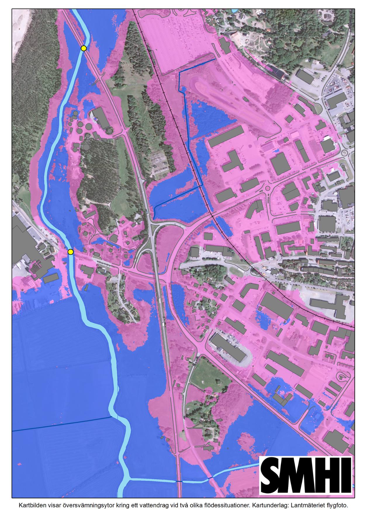
Quick overview with a map
The results from the flood mapping is presented on map, which makes it easier to overview areas with higher risk of flooding.
Contact us for more information and discussion!