Authorities from Finland and Sweden work together within the Interreg IV A Nord Project “Detailed flood mapping of the lower part of River Torne” during 2009-2012. The main purpose of the project is to produce detailed flood maps for the common border-river according to the EU Floods Directive.
SMHI sounded half of the investigated river length and was responsible for the hydraulic modeling, flow calculations and production of flood zones and maps.
Statistical and hydraulic analyses
Within the project flood maps for return periods 100-years and 250-years together with a calculated highest flow have been produced for the lower part of the River Torne. Flows with return periods 100-years and 250-years were calculated statistically based on observations.
The calculated highest flow was modeled with the hydrological HBV-model according to the Swedish design flood guidelines (Flood Design Category I).
A hydraulic model was built to calculate water levels along the river at the different flow levels. The model was based on height data from laser scanning and river bottom data from sounding. The data sampling was carried out in cooperation between Swedish and Finnish authorities within the project.
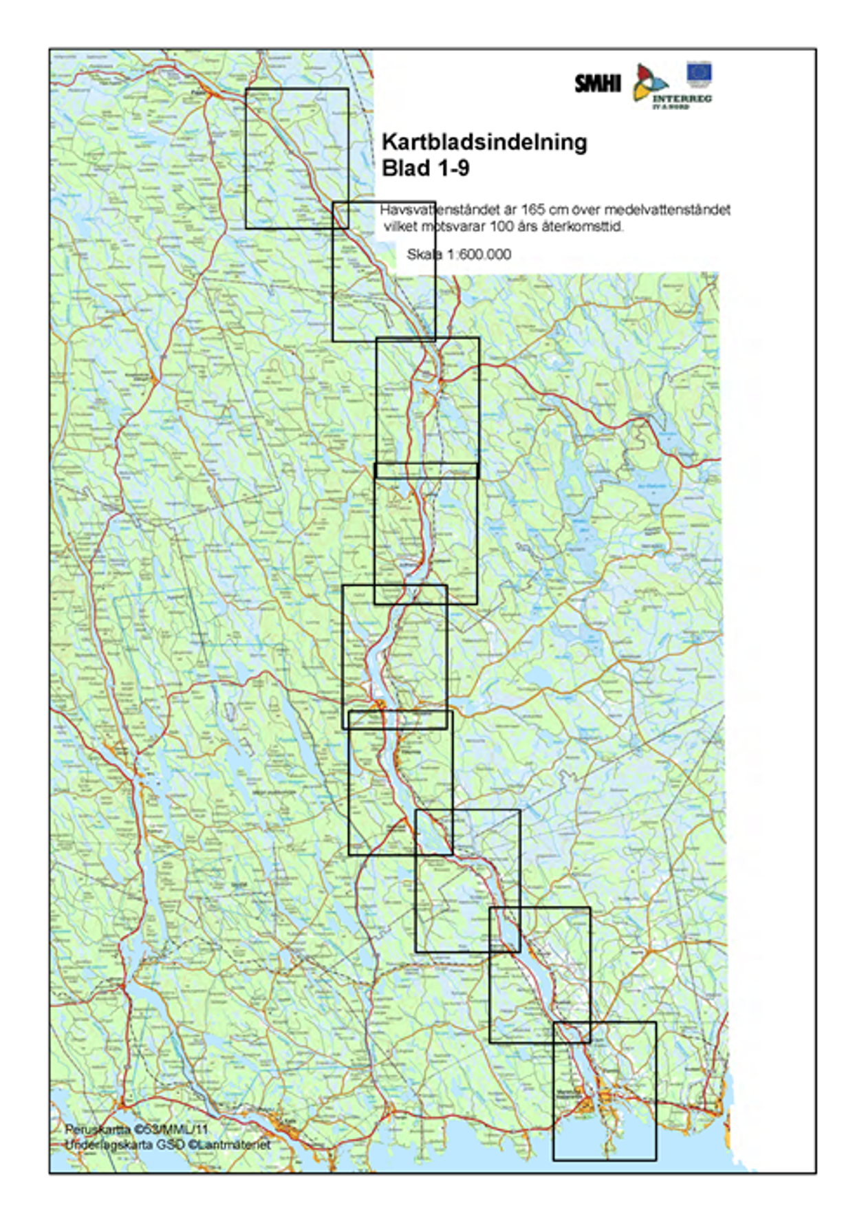
The flood zones were projected on background map data from the national land services in Finland and Sweden. The area was divided in nine parts and mapped with scaling 1:75000.
The maps are available in original size as pdf-files and collected in an appendix, in a compressed format (see right column).