
UAWOS – development of airborne hydrometric sensing technology
UAWOS stands for Unmanned Airborne Water Observing System and is a project that aims to develop methods for hydrometric observations with drones and satellites. The information will contribute to climate adaptation, assessing flood risk, and monitoring hydrological events in remote, inaccessible and less monitored rivers.
The project aims to develop workflows for drone based hydrometric field surveys, data processing and integration of satellite and drone-based data in flood modelling, and to demonstrate the value of the resulting data through use cases in alpine, arctic, and tropical regions. The arctic cases include the Torne River in Sweden.
The project runs for four years and is led by the Technical University of Denmark.
Read more on UAWOS official project page (dtu.dk) External link.
SMHI participates as a developer and user
SMHI, along with several other partners, is involved in the project both as a developer and user. Colleagues from our research department, observation unit, and hydrological warning service all participate to contribute to useful methods, from practical use in the field to improved forecasts and warnings as well as research advancements.
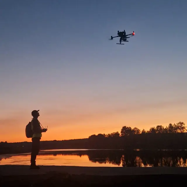
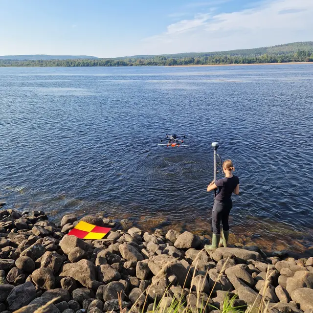
Project field work by the Torne river in September 2024.
About the project
Project period: 2023–2027 (4 years)
Funding: Horizon Europe
Partners: Technical University of Denmark, SMHI, Technical University of Munich, National Research Council of Italy, and the companies Lobelia/isardSAT (Spain), Drone Systems (Denmark), Thurn Group (England), SPH Engineering (Lithuania) and Geolux (Croatia).
Contact at SMHI: David Gustafsson
