
New scientific paper on Sweden’s satellite-based wildfire detection system
For several years, Sweden has used satellites to detect wildfires. Already in the first season, the satellites delivered societal benefits by detecting fires before alerts were raised through other means. A new scientific paper now describes how the system currently operates and how it can be developed further with a new instrument.
Following the major wildfires in 2018, evaluations showed a need for improved, more automated fire monitoring to enable earlier detection and a better geographical situational picture, allowing faster wildfire response. The Swedish Civil Defence and Resilience Agency (formerly MSB) and SMHI have therefore developed a system for detecting fires from space.
The major forest fires of 2018 highlighted the need for better, more automated fire monitoring, enabling early detection and a more accurate geographical picture of the situation so that forest fires can be tackled more quickly. Since then, the Swedish Civil Defence and Resilience Agency (formerly MSB) and the Swedish Meteorological and Hydrological Institute (SMHI) have developed a system that automatically sends alerts to SOS Alarm via satellite surveillance when a fire is detected.
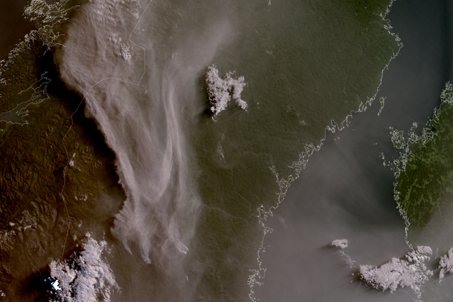
The system uses data from the VIIRS (Visible Infrared Imaging Radiometer Suite) instrument on the US polar-orbiting satellites NOAA-20, Suomi-NPP and NOAA-21. VIIRS measures both visible and infrared radiation, allowing satellites to detect heat from fires through thermal sensing – even through smoke and at night.
Monitoring supports firefighting efforts
After a period of testing and evaluation, SMHI began sending satellite detections directly to SOS Alarm ahead of the 2023 wildfire season. This means that satellite data is now an integrated part of the emergency response chain, where a fire can be detected from space and immediately trigger an alert to SOS Alarm.
An evaluation covering the years 2022–2024 shows that, for wildfires detected by satellites, the satellites were the first to detect the fire in 29% of cases. This is despite the fact that satellites cannot detect all fires. There may be a delay between ignition and the next satellite overpass, or detection may not be possible due to cloud cover or instrument sensitivity. But, even when satellites are not the first to raise the alarm, they provide an accurate geographical location of the fire, which facilitates firefighting operations.
“Satellite detection is particularly important in sparsely populated areas, where there is a lower likelihood of people discovering wildfires, and where fires risk growing large and difficult to control,” says Stefan Andersson, officer in natural disasters and forest fires at the Swedish Civil Defence and Resilience Agency.
New satellites can contribute
In August 2025, the satellite Metop-SG-A1 was launched, Europe’s first satellite in the second generation of the polar satellite programme. Once operational, it will be renamed Metop-D. It carries the METimage instrument, which will be used for fire detection.
“With the Metop-SG satellites, we will gain coverage in the morning and evening, when we currently lack high-resolution observations. However, the METimage sensor is not quite as sensitive as VIIRS, meaning somewhat larger fires are required for detection. During summer, fire risk typically peaks in the late afternoon, so even with lower sensitivity it is highly valuable to have monitoring at that time of day,” says Adam Dybbroe, research leader and satellite expert at SMHI’s meteorological research unit.
Read the scientific article Validation of an automated end-to-end system for satellite-based wildfire detection in Sweden External link., published in the inaugural issue of the Journal of Pyrogeography. This is a new scientific journal focused on research into fires and their links to climate, vegetation and human activity, from local to global scale.
