
Digital Twin to Help Cities Brace for Extreme Weather
When a sudden cloudburst floods a neighborhood or a heatwave lingers for days, the impact is felt locally, not just on a regional map. Yet until now, decision-makers have lacked tools to understand what extreme weather really looks like at the urban scale. A new research project, Urban Extreme Climate Adaptation Digital Twin (UrbExt DT), aims to change that by creating a virtual copy of a city’s climate.
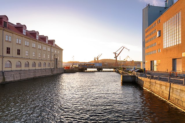
One of the partners in the project is Göteborgsregionen.
– A Digital Twin lets us look into the future of a local area, not just a region, says Fuxing Wang, reseacher and project lead at SMHI’s Rossby Centre.
– It helps planners explore ‘what-if’ scenarios so they can prepare before extreme weather strikes.
A Virtual Urban Climate at Hectometer Resolution
The project will develop a so-called Digital Twin of urban climate systems, which is combining a cutting-edge climate model with advanced machine learning and an interactive visual interface. This allows simulations at hectometer scale (100 meters), capturing the fine details of how buildings, trees and roads influence extreme events.
Planners will be able to interact with the visualisation platform, adjust local parameters, and test different futures such as new building developments, green spaces, or infrastructure upgrades.
– It’s a new way of connecting climate science with real-world decision-making. Cities will be able to experiment safely in the digital world before investing in the real one, Fuxing Wang explains.
Why Now? Extreme Weather Is Becoming the New Normal
As the climate warms, regions from northern Europe to southern Africa are already experiencing unprecedented weather extremes. Back-to-back heatwaves, intense rainfall, and severe flooding are becoming more common and more damaging.
Gothenburg is particularly vulnerable to cloudbursts, river flooding and sea-level rise, while Cape Town faces severe storms, heatwaves, water shortages and wildfire risk.
– These kinds of extremes we once thought of as rare will become more frequent. Cities need detailed information to plan ahead. That’s where UrbExt DT comes in, says Fuxing Wang.
How Cities Will Use the Digital Twin
The tool is being co-developed with the Gothenburg Region and the City of Cape Town, ensuring that the model responds to real needs. Planners and emergency managers will be able to:
- Test how different urban designs affect flooding, heat.
- See how soon and probability the extreme events of a given intensity might occur.
- Explore new strategies for green infrastructure, drainage, heat mitigation and emergency response.
- Adapt the model to local conditions using an intuitive visual interface.
– We want cities to have the confidence to act early. With the Digital Twin, they can see the consequences of choices before they commit to them, says Fuxing Wang.
Understanding How Cities Shape Extreme Weather
UrbExt DT will also investigate how urbanization itself affects extreme events, such as the interaction between urban heat islands and heatwaves, or how urbanizations influence extreme heatwaves and rainfall. These feedbacks are still poorly understood, yet they directly shape local climate risks.
The project’s high-resolution climate model simulations provide new opportunities to answer these questions and inform smarter, more sustainable development.
Benefits for Ordinary People
The Digital Twin may sound high-tech, but its impact could be felt in everyday life:
- Reduced flooding risk in homes and neighborhoods
- Better-cooled public spaces during heatwaves
- More reliable power and water systems
- Faster, better-targeted emergency responses
- Urban planning that anticipates risk rather than reacts to disaster
– Ultimately, the goal is safer, more resilient cities for the people who live in them, Fuxing Wang emphasizes.
- That’s what drives this work.
Designed for Global Scalability
Although the project focuses on Sweden and Africa, the approach is intentionally designed to be scalable to cities worldwide - from small towns to megacities.
– The tools we build here can be adapted anywhere. Urban vulnerability is a global challenge, and we want our work to contribute to global solutions.